| Diving shop Ellisella of Zamami Island Kerama Islands Okinawa Japan |
|||||||||||||||
|
|||||||||||||||
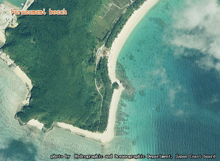
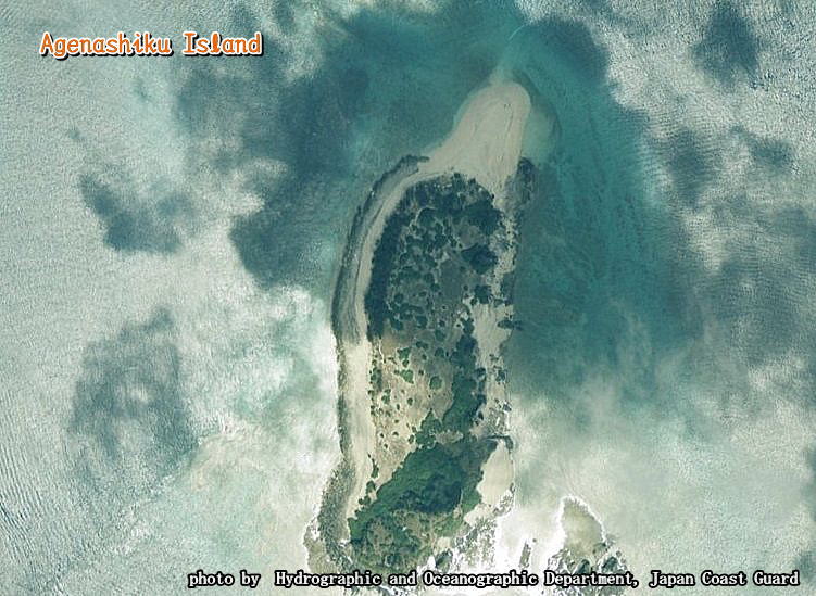
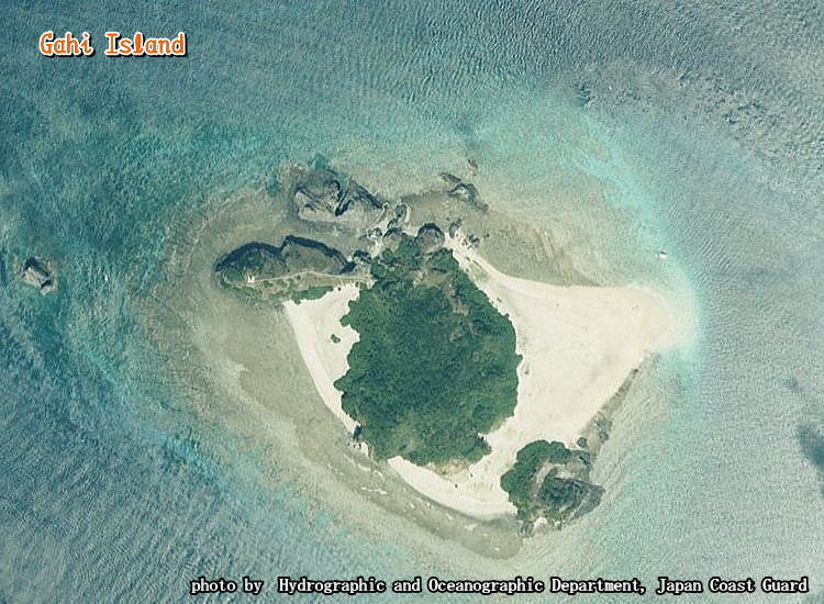
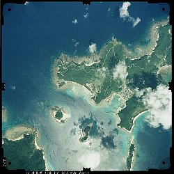
| 【 Discover Scuba Diving point aerophotograph 】 |
|
| I get permission from the Hydrographic and Oceanographic Department of Japan Coast Guard part about publishing the aerophotograph on November 6, 2006. | |
| photo by Hydrographic and Oceanographic Department of Japan Coast Guard [E] |
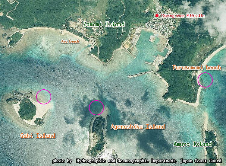
| 【Details of aerophotograph】 Copyright Hydrographic and Oceanographic Department of Japan Coast Guard Image name 199620329.jpg (A right photograph is a reduction of former aerophotograph.) |
 |
||||||||||||||||
|
|||||||||||||||||
| English Top page | Shop guidance [E] | Access to Zamami [E] | Reservation Inquiry [E] | Link |
| Scuba Diving [E] | Discover Scuba Diving [E] | Whale Watching [E] | Photo Gallery [E] | Zamami Island Map [E] |